
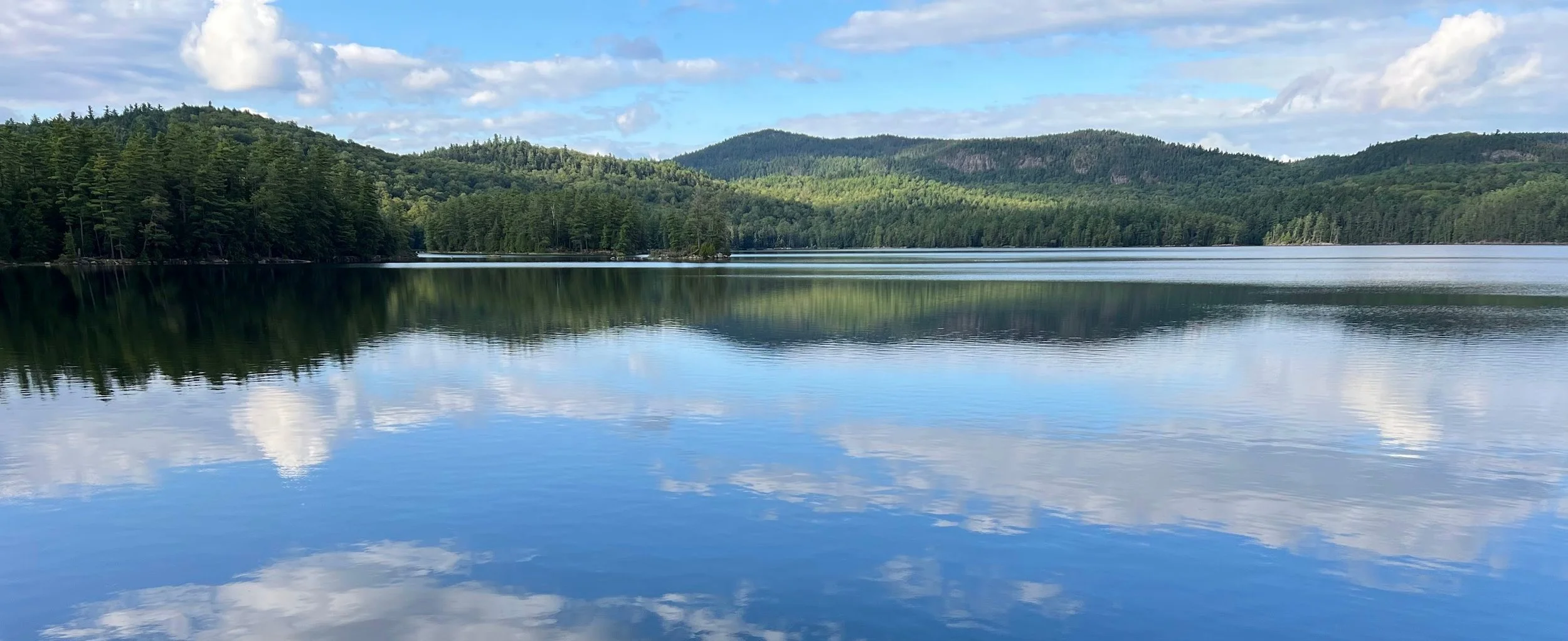
Spatial Solutions for a Changing World
Our Services
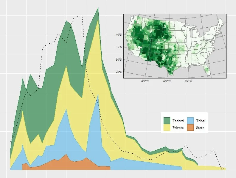
Data Analytics
Unlock the full potential of your business with our expert analyses and strategic guidance. We provide precise solutions tailored to enhance your competitive edge.
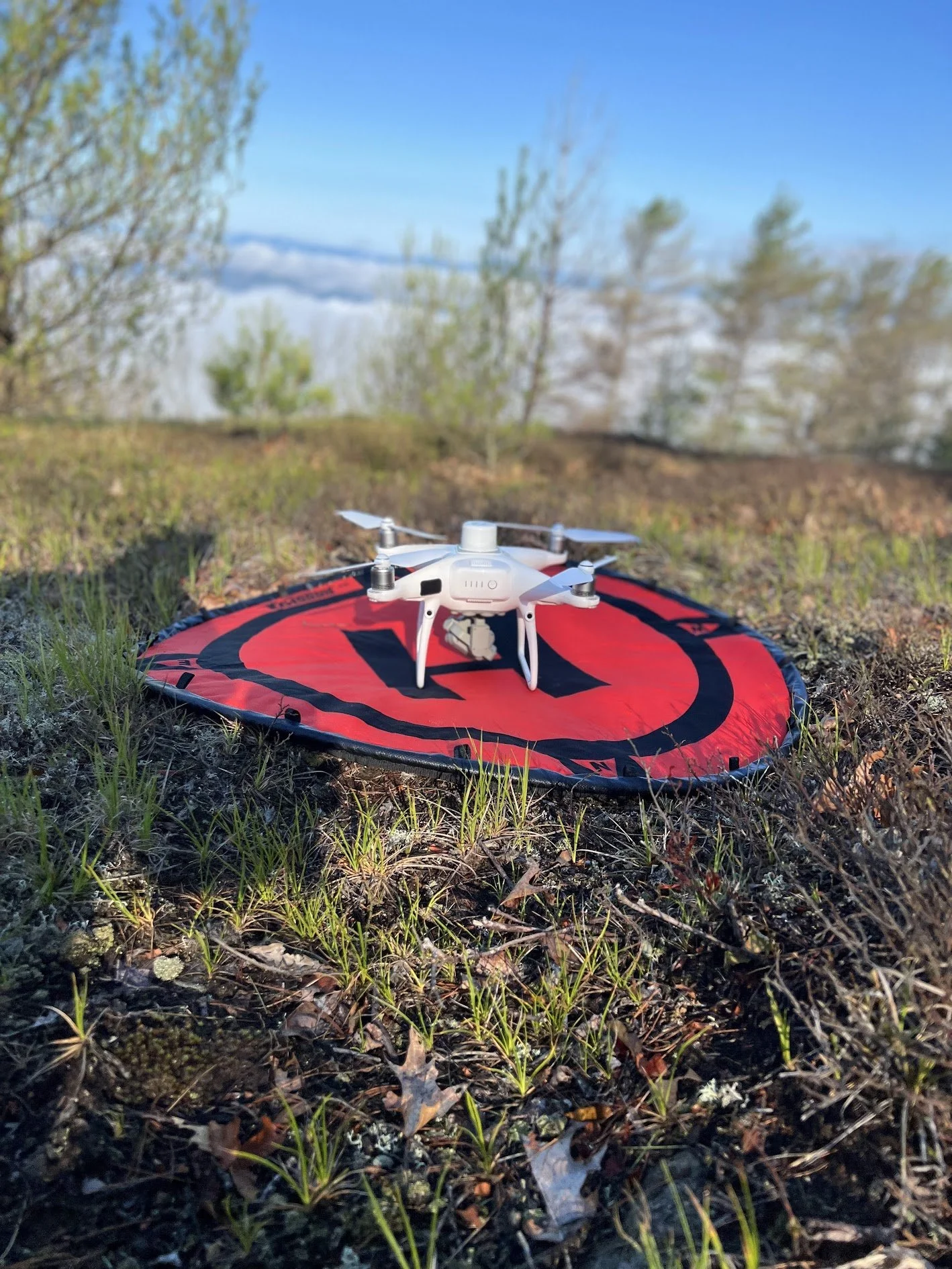
Data Collection & Drone Mapping
We excel at taking data and making beautiful visualizations for publication, presentation, and the web. We work with you iteratively to build maps together!
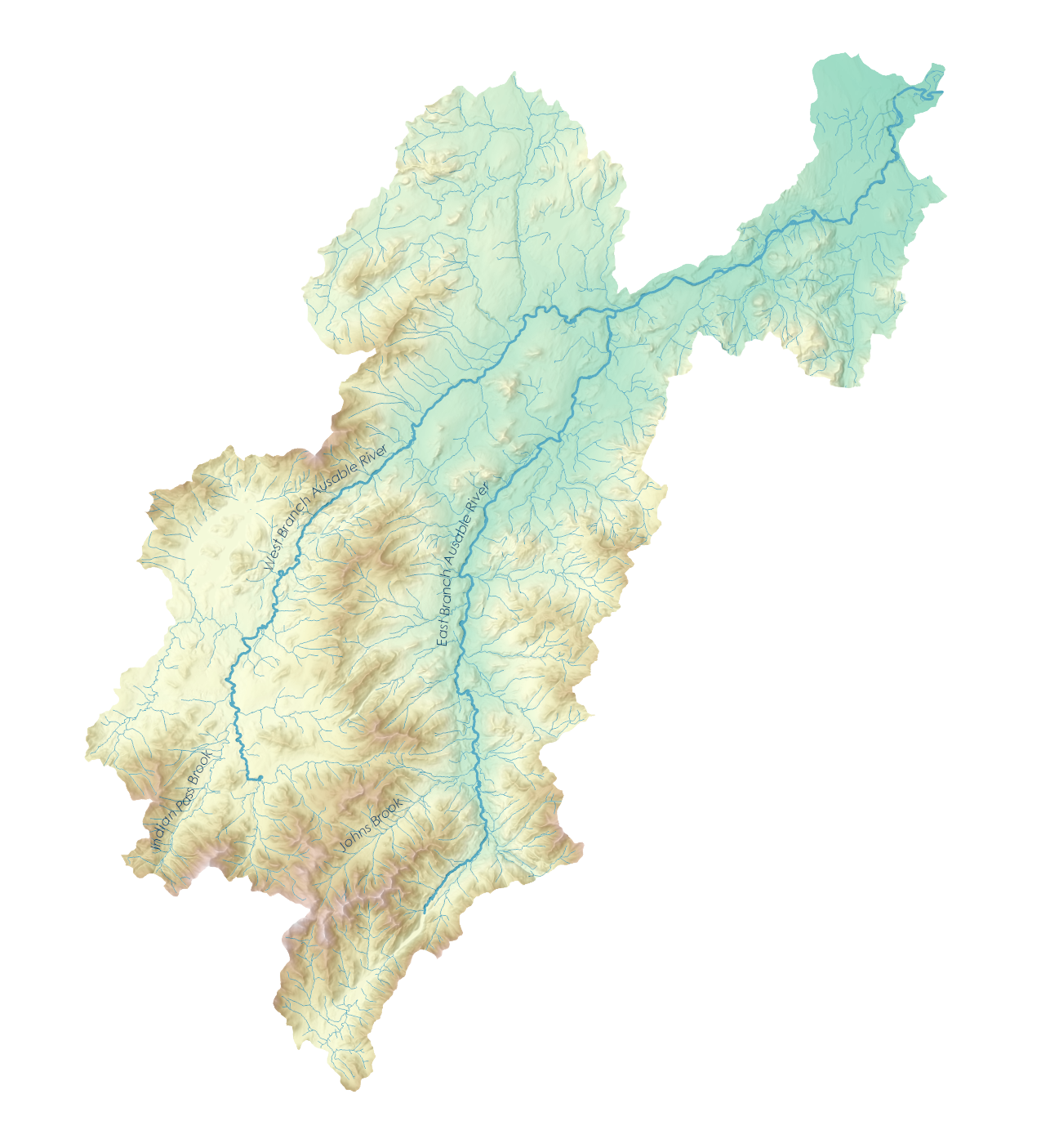
Cartography & Design
Twin Oaks excels at designing field campaigns for collecting ecological, archaeological, and physical data, with the latest in high-precision GPS and cloud-based data management tools. With FAA certified UAV pilots, Twin Oaks can map from the ground and the sky.
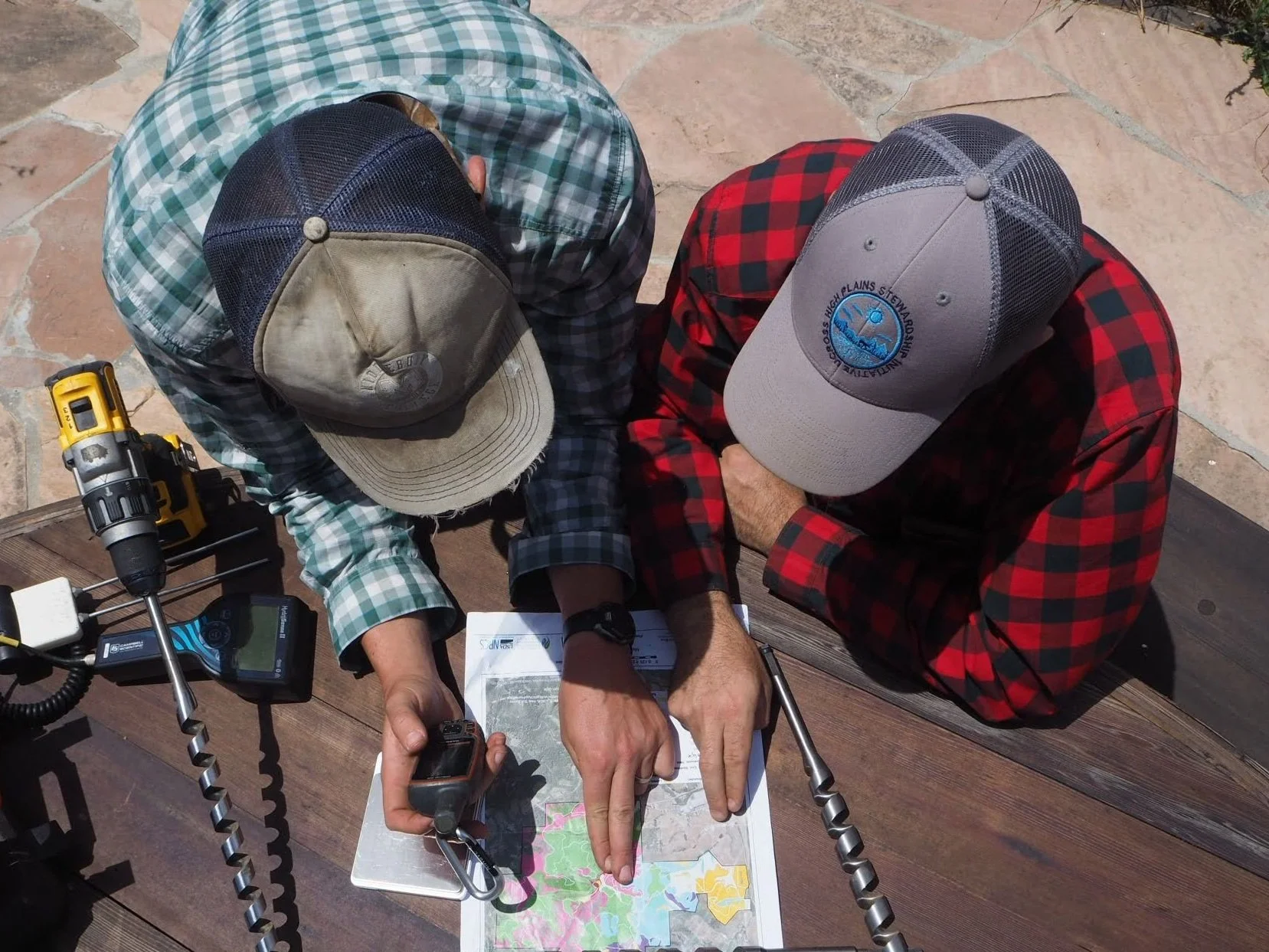
Organizational GIS & Training
Are you hoping to build a GIS database? Conduct field work in and out of cell service? Weigh open-source and proprietary options? Any direction you choose, we’ve got you covered
About
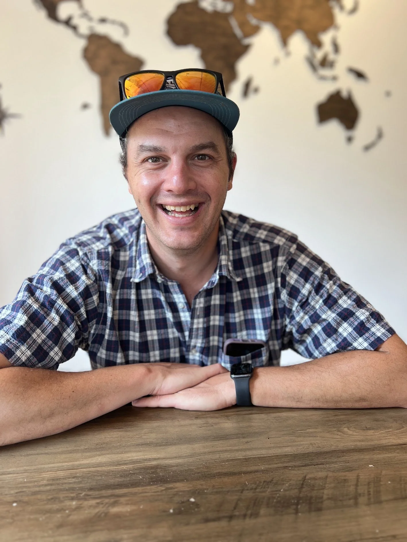
Charlie Bettigole is the Principal of Twin Oaks Geospatial, based in Middlebury, Vermont. With over 20 years of experience with GIS, remote sensing, cartography, and organizational data management.
Charlie brings expertise in GIS and remote sensing across a variety of fields including landscape ecology, conservation, agriculture, forestry, archeology, human-powered recreation and more.
When he’s not wrangling data or flying drones, Charlie can be found in the woods of the Adirondack and Green Mountains - by ski in the winter, and mountain bike and fly rod in the summer months, often with a couple kids and a dog in tow.
Get in Touch
If you're interested in working with us, complete the form with a few details about your project. We'll review your message and get back to you within 48 hours.